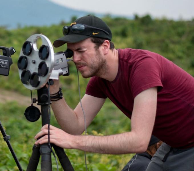
Daniel Williams is an Assistant Teaching Professor in the Department of Geology and Environmental Science. He is also the coordinator of the Undergraduate Certificate in Geographic Information Systems (https://www.geology.pitt.edu/geographic-information-systems-certificate). He holds a BSc (Hons.) in Geology and Geography from the University of Birmingham, an MRes in the Science of Natural Hazards from the University of Bristol, and a PhD in Geology and Planetary Science from the University of Pittsburgh, during which he was awarded a NASA Earth and Space Science Fellowship (NESSF). Daniel is responsible for teaching core classes in GIS and Remote Sensing, along with supervising undergraduate the GIS and Remote Sensing Independent Study Capstone projects. He also teaches courses in planetary geology at both the general education and major elective levels. Daniel’s research primarily focuses on satellite remote sensing of terrestrial volcanoes. He combines laboratory-, field-, and satellite-based infrared spectral measurements of erupted volcanic rocks and gases to better understand the processes that occur within the volcano during explosive eruptions. He is also developing laboratory equipment with Prof. Mike Ramsey that can acquire infrared emissivity spectra of rocks and minerals in the presence of different gas compositions to simulate the atmospheres of other planets and is exploring the use of Deep Learning within GIS to better map volcanic features on the surface of planets such as Mars.

